8 hr
Circuito Chico Scenic Drive with Optional Catedral Summit
Explore Bariloche's iconic lakeside circuit, visiting mountaintop viewpoints and architectural landmarks
Reserve
25.7 kilometers threading Nahuel Huapi's bays, beech forests rise to granite summits
Hand-picked by our editors — only the best 6 experiences from 14 reviewed
Verified partners for Circuito Chico Bariloche tours, free cancellation where available, and instant confirmation on every booking.
8 hr
Explore Bariloche's iconic lakeside circuit, visiting mountaintop viewpoints and architectural landmarks
Reserve
4 hr
Scenic half-day loop from Bariloche showcasing alpine lakes, mountain viewpoints, and Patagonian landmarks
Reserve
4 hr
Experience Bariloche's most breathtaking viewpoints, alpine forests, and lakeside landmarks in one compact journey.
ReservePrices from verified partners. Availability updates in real time at checkout. Free cancellation policies apply where shown.
Every Circuito Chico Bariloche tour side-by-side — duration, what's included, how you redeem.
| Experience | Duration | Rating | Pickup | Skip-the-line | Guide | Small group | Price | |
|---|---|---|---|---|---|---|---|---|
|
Guided Experience Most popular
Circuito Chico Scenic Drive with Optional Catedral Summit
|
8 hr | ★ 4.5 | ✓ | ✓ | ✓ | ✓ | €39 | Book → |
|
Guided Experience
Circuito Chico Half-Day Tour
|
4 hr | ★ 4.5 | ✓ | ✓ | ✓ | ✓ | €25 | Book → |
|
Guided Experience
Circuito Chico and Cerro Campanario Half-Day Tour
|
4 hr | ★ 4.5 | ✓ | ✓ | ✓ | ✓ | €51 | Book → |
All prices from verified partners. Availability and exact terms confirmed at checkout.
Cerro Campanario offers a panoramic perspective of the lakes, while Cerro Catedral focuses on alpine granite peaks and extensive mountain infrastructure. Visitors often combine these Bariloche landmarks to experience both the accessible vistas of circuito chico bariloche tours and the high-altitude terrain of the famous ski center.
| Feature | Top pick Cerro Campanario | Cerro Catedral |
|---|---|---|
Summit height |
1,049 meters | 2,388 meters |
Viewpoint accessibility |
Chairlift or hike | Cable car and lifts |
Primary activity type |
Panoramic photography | Skiing and trekking |
Best time for photography |
09:00–10:30 | Mid-day for shadows |
Budget considerations |
0 ARS hiking; chairlift fee | Lift pass required |
Infrastructure |
Cafe and lookout | Extensive village and base |
| See tickets → |
Verdict: Choose Cerro Campanario for a classic vista on your circuito chico bariloche excursion, or select Cerro Catedral for deeper engagement with high-mountain activities and larger scale terrain.
Choose your ticket, select your date, and reserve in under two minutes. Secure checkout handled by our verified partner.
Instant confirmation by email, with a mobile voucher you can save offline. No printing, no queuing at a collection desk.
Arrive at the entrance, show your voucher on your phone, and walk in. Most tickets include priority or skip-the-line access.
Practical details for Circuito Chico Bariloche tickets straight from our verified partners — hours, access, rules, and how to get there.
Avenida Exequiel Bustillo km 17.5
Look for the main chairlift office entrance.
Open in Google MapsLines 10 and 20 provide regular service from downtown Bariloche.
Dress in layers as the summit is exposed and windy. Comfortable, sturdy hiking footwear is recommended for the trail.
There are no lockers at the base. Carry only what you need for the hike, as facilities are limited.
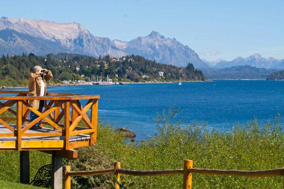
The summit offers 360-degree views ideal for panoramic shots. Use a polarizing filter to reduce lake glare during clear days.
The chairlift provides access for those who prefer not to hike. The summit path is rugged, and some areas may be slippery.
Mobile phones are permitted. Keep ringer off inside exhibition spaces.
Children are welcome on the mountain, though the trail requires supervision. The chairlift ride is generally suitable for all ages.
A cafeteria is available at the summit serving hot beverages and pastries. No dining facilities exist along the hiking path.
Pets are not allowed, with the exception of service animals with appropriate documentation.
Last entry is typically 1 hour before closing. Check the specific ticket for timing.
Avenida Exequiel Bustillo km 17.5
Look for the main chairlift office entrance.
Get directionsBest time to go, insider tips, nearby landmarks, and the cancellation fine print — flip through to skim what matters to you.
How crowds, weather, and events shift across the year.
December–March features clear skies and warmer temperatures for hiking.
Small details that turn a good visit into a great one.
Arrive before 10:30 to experience the summit before daily bus tours reach capacity.
Non-bookable sights within a short walk — free to visit, easy to pair.
Iconic historical hotel located nearby in the circuito chico bariloche area.
Flexible, no hidden fees.
If you are unable to complete the ascent, you may reschedule your tickets or receive a full credit. Hiking the circuito chico bariloche trail remains free of charge.
Hand-picked options within walking distance — pick a district for vibe, or a specific hotel for convenience.
High-end resort set within the lush forest near the lake.
The 25.7-kilometer loop that threads the Llao Llao Peninsula was paved in stages between 1936 and 1958, its ribbon of asphalt following cattle trails and indigenous footpaths that traced the western shore of Nahuel Huapi for millennia.
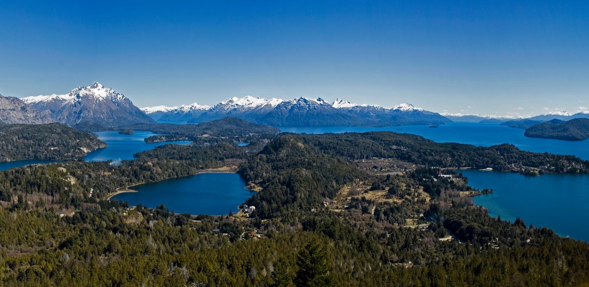
Circuito Chico Bariloche begins at the civic centre on Avenida Exequiel Bustillo, climbing steadily through mixed Valdivian forest — coihue, lenga, and ñire beech interspersed with arrayán groves whose cinnamon bark peels in papery scrolls. At kilometer 8.5, the route bends around Bahía López, where the lake narrows to a glassy channel framed by Cerro López's 2,075-metre granite face. By kilometer 17.5, the road reaches Cerro Campanario, a 1,049-metre knoll whose summit panorama was declared the most beautiful in South America by National Geographic in 1934, a claim renewed in photographic essays through the 1970s.
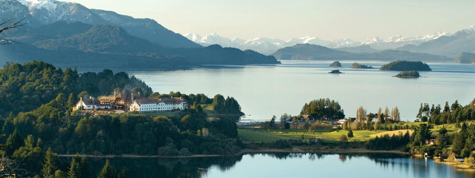
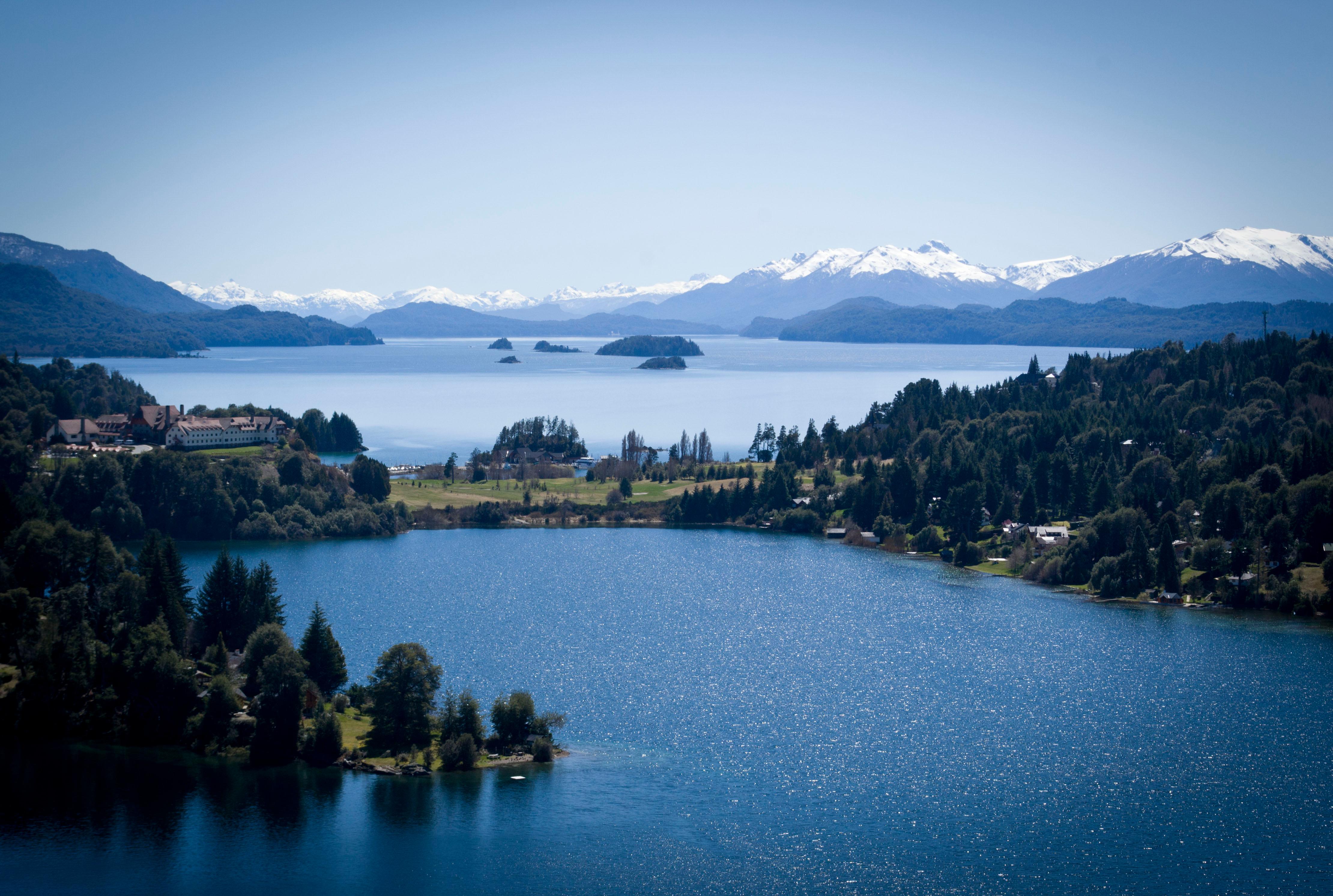
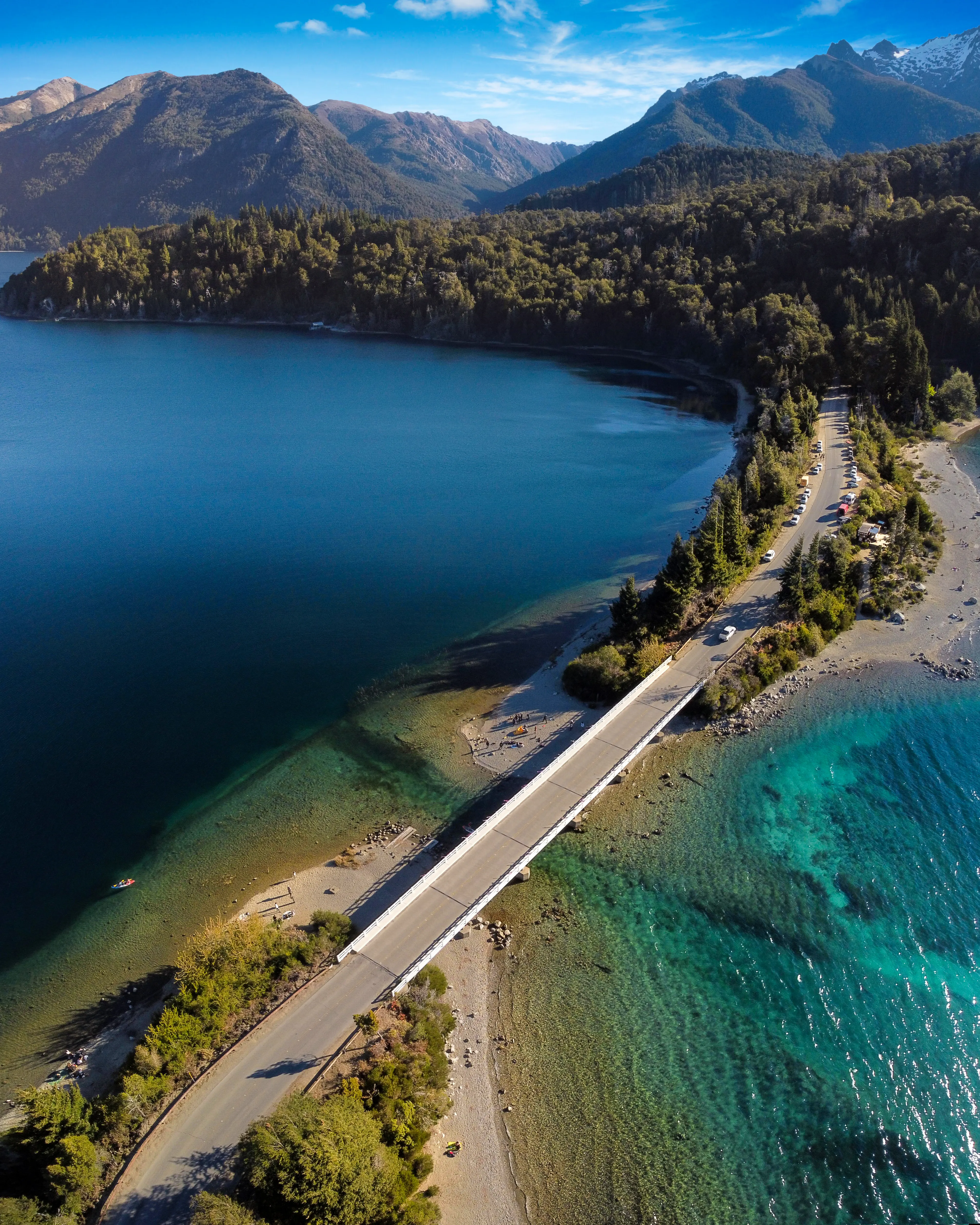
The circuit's second half traces the peninsula's northern edge, passing the Llao Llao Hotel at kilometer 20 — a cedar-and-stone structure rebuilt in 1940 after fire destroyed Alejandro Bustillo's original 1938 design — and threading the isthmus between Moreno and Nahuel Huapi lakes at Punto Panorámico, where a pull-off parking area accommodates 18 vehicles and offers unobstructed sight lines across both water bodies. Circuito chico bariloche en auto remains the most common mode, with rental sedans and compact SUVs navigating the loop in 90 minutes without stops, though cyclists cover the route in three to five hours depending on fitness and wind direction. The paradas — formal viewpoint stops — are marked with gravel shoulders and interpretive signs at nine locations, including Puerto Pañuelo at kilometer 23, the departure dock for Isla Victoria catamarans.
Circuito chico bariloche mapa sheets distributed at the tourism office mark elevation gain in 50-metre intervals, distinguishing paved shoulder width — 1.2 metres on the eastern ascent, 0.8 metres descending toward the city — and noting seasonal closures during August snowfall, when Bustillo Avenue between kilometers 15 and 19 requires chain installation. Trekking circuito chico bariloche as a multiday hike remains rare; the route lacks formal campgrounds, though Refugio López at 1,620 metres offers bunk accommodation for those ascending the lateral trail at kilometer 12. The loop's fame rests less on its length than its density of overlapping ecotones — subantarctic beech forest, alpine meadow, volcanic scree, and lacustrine shore compressed into a single hour's drive, each transition visible from the roadway without requiring backcountry permits or technical skill. Circuito chico bariloche bike rentals cluster along Mitre and Moreno streets in the city centre, offering hybrid and mountain models with helmet and repair kit for 8,000 to 12,000 pesos per day, though road-bike geometry suits the paved surface better than suspension forks.

"The 25.7-kilometer loop threads cattle trails and indigenous footpaths that traced Nahuel Huapi's shore for millennia."
A step-by-step walkthrough of Circuito Chico Bariloche tickets — what you'll see, how long each stage takes, and the details that matter.
You start at kilometer zero, where Avenida Exequiel Bustillo leaves the civic grid and enters Nahuel Huapi National Park under a canopy of coihue beech. The first five kilometers rise gently; you pass gated driveways to lakefront cabañas and small hostels, the pavement still wide enough for passing tour buses.
At Bahía López, kilometer 8.5, you pull into the gravel shoulder and step to the water's edge — Cerro López's granite wall rises directly across the bay, its ridgeline sharp against the sky. The road narrows after kilometer 12, hugging the slope as it climbs toward Campanario.
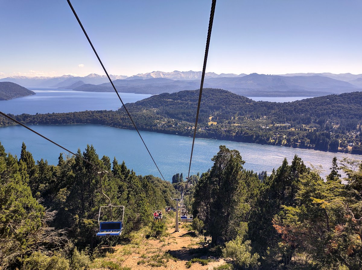
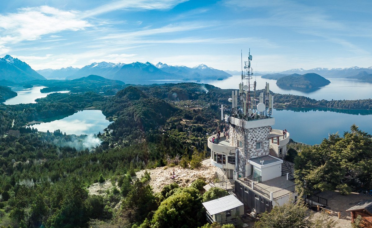
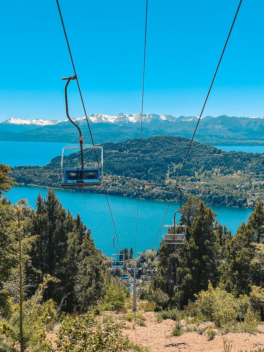
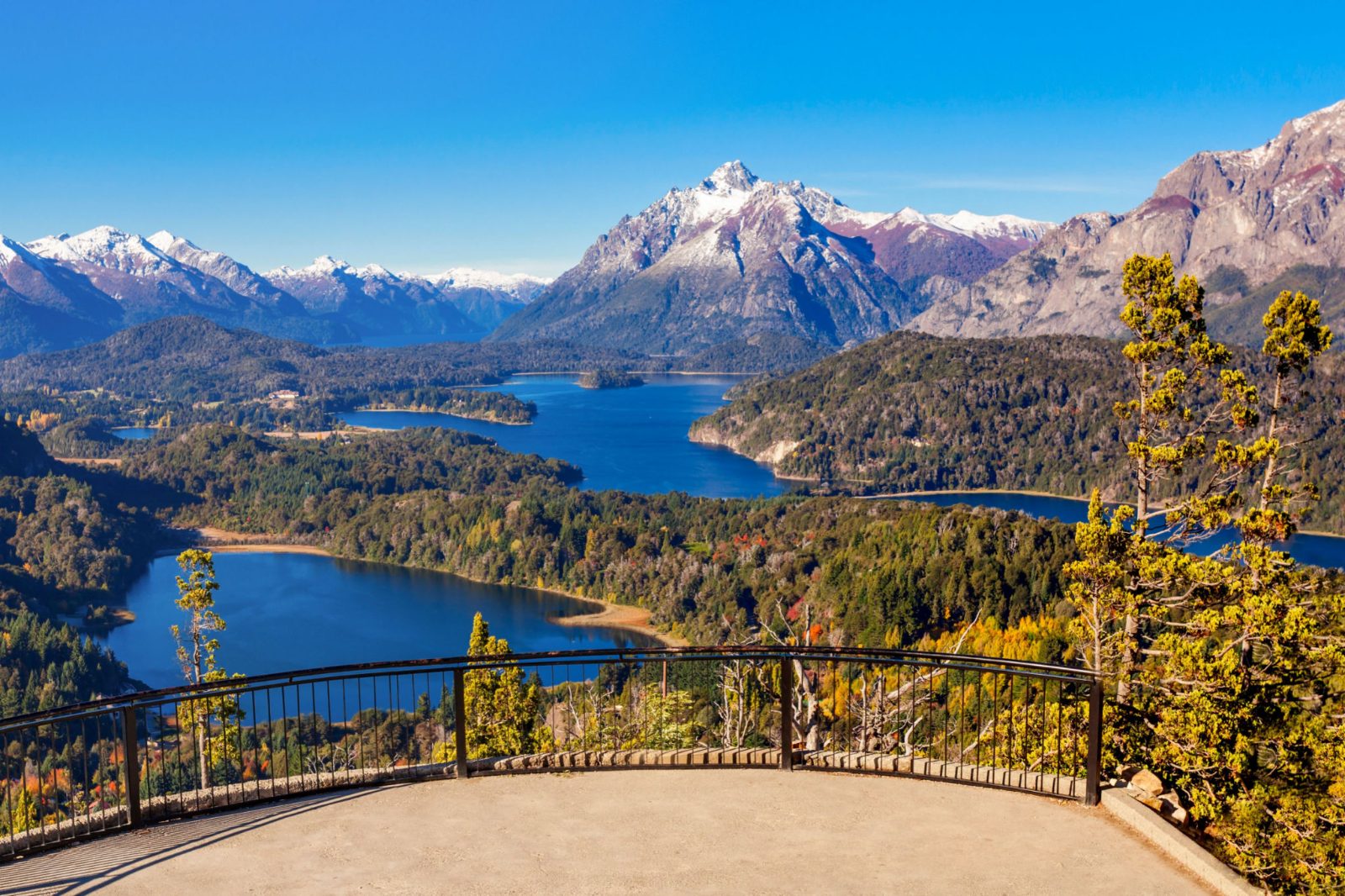
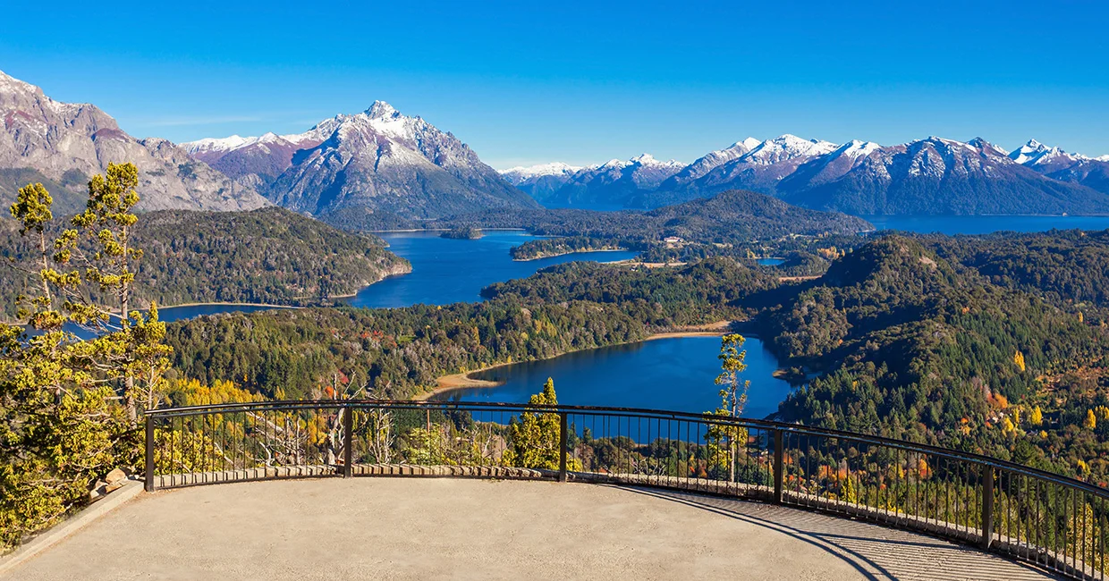
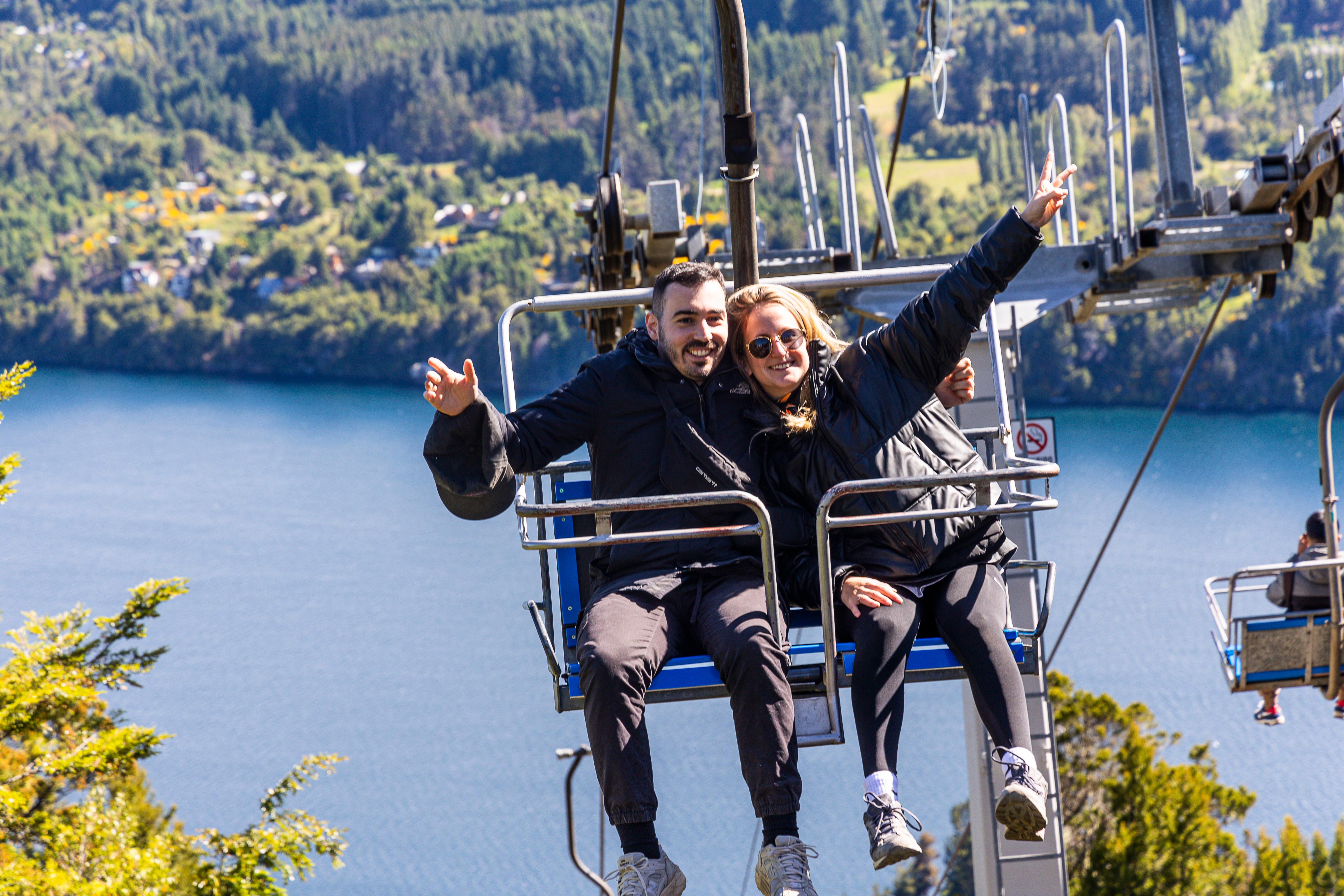
You reach the Cerro Campanario trailhead at kilometer 17.5. If you hike, the ascent takes 25 minutes through lenga forest; if you take the chairlift, the ride lasts eight minutes, depositing you 100 metres below the summit platform. From the top, the circuito chico bariloche route spreads below in a clean arc — Llao Llao Peninsula to the west, the city's rust-colored rooftops to the east, Tronador's 3,470-metre summit closing the southern horizon. You descend and continue the loop, passing Punto Panorámico at kilometer 21, where Moreno and Nahuel Huapi lakes meet at a narrow isthmus. The road flattens as it curves back toward the city, the final four kilometers tracing Moreno's shore under afternoon light that turns the water cobalt.
Hiking is 0 ARS; you only pay if you choose to purchase a chairlift ticket.
The chairlift operates from 09:00–19:00 daily.
Yes, tickets for the chairlift can be purchased online or at the base.
The hike takes approximately 30 minutes and is considered manageable for most, though it is steep.
No, there are no luggage storage facilities available at the base of the mountain.
Arriving early between 09:00–10:30 helps avoid the influx of large tour buses.
Yes, there is a cafe at the summit that serves pastries and beverages.
Take bus line 20 or 10 from the city center using a preloaded SUBE card.
Wear layered clothing and sturdy hiking shoes, as the weather changes quickly at the summit.